This website uses cookies so that we can provide you with the best user experience possible. Cookie information is stored in your browser and performs functions such as recognising you when you return to our website and helping our team to understand which sections of the website you find most interesting and useful.
Digital Surveying to BIM
Learn more

Close
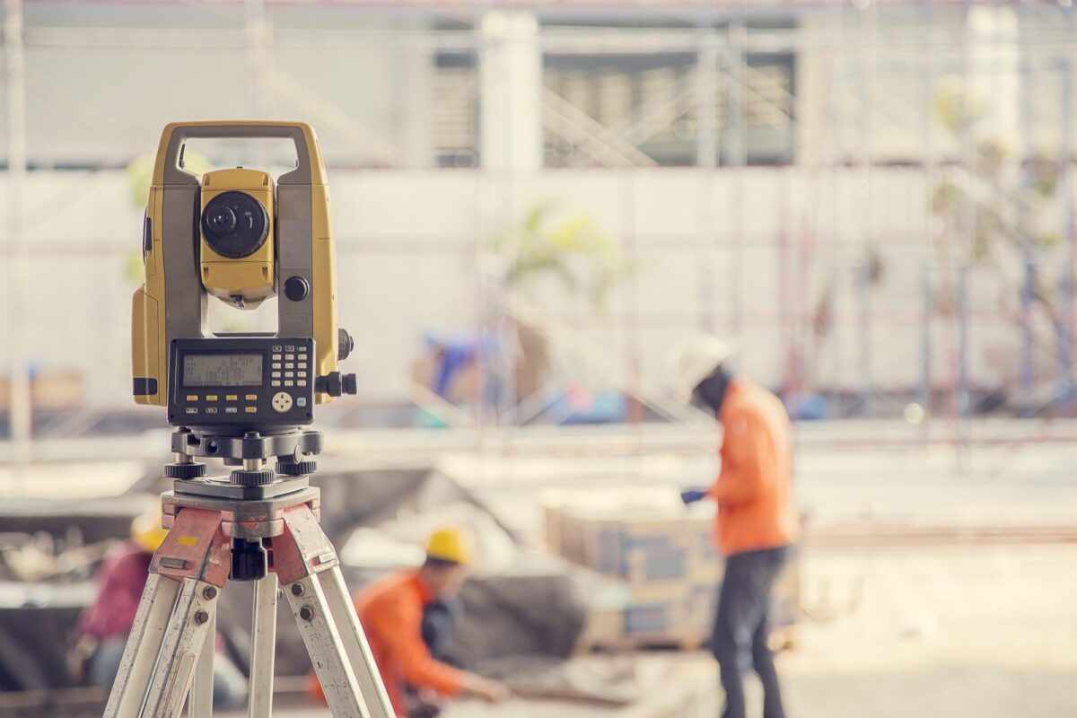
We carry out point cloud or digital surveyings are carried out using the latest 3D laser scanning and LiDAR technology, an approach that is rapidly replacing traditional survey methods. This allows us to virtually map existing structures with improved speed and accuracy.
Projects
-

View project
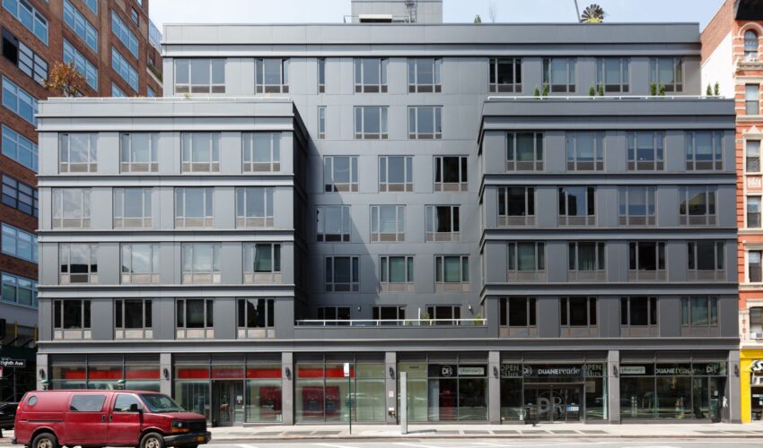
305W16 Mixed-Use Complex
-

View project
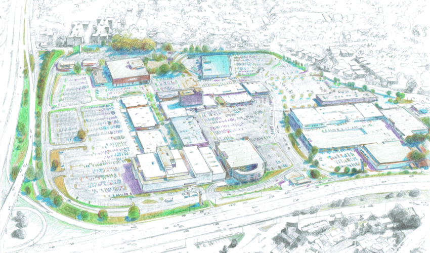
Cross County Mall Regeneration Project
